A design-build company uses point clouds to create accurate 3D models with ease.
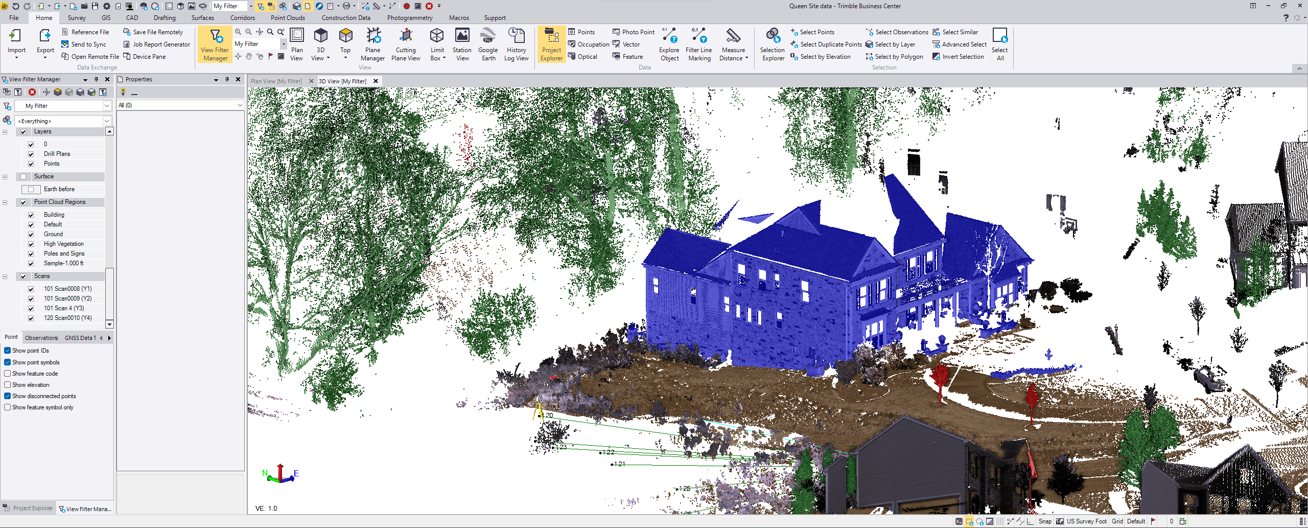
Outdoor point clouds.
TJ Varghese is a Design Director at PSW, a design-build company specializing in residential outdoor and indoor design. By utilizing point cloud data with Scan Essentials and SketchUp, he has managed to cut down his design time from 5 hours to 20 minutes. Creating 3D models from point cloud data gives TJ the accuracy to build efficiently and save on project costs. Here’s his story.
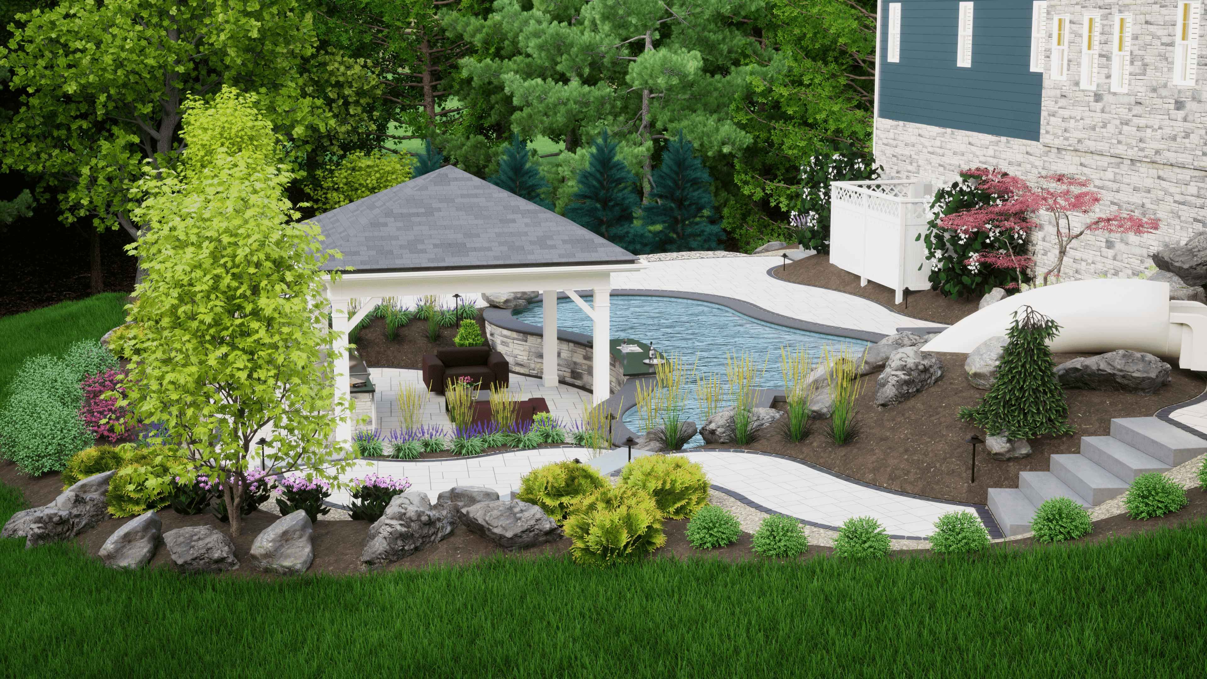
Outdoor render. All images courtesy of PSW and the Vizyon Group.
How did using point cloud data change your workflow?
We completely revamped the old way of doing things when we switched to using point clouds instead of manual measurements. Models with point cloud data are much more accurate, and we've saved much time in the field. The project data is stored on our computers, which is a big help if we need to remember to note any project details. We can see the point clouds within SketchUp by importing them using Scan Essentials.
We have an entirely different design process from how we used to do it a year ago. Here’s the old process: the team at PSW would put down tape and take 10-foot measurements. A measuring line would take the elevation readings to remodel them as a grid. Using two pieces of tape, two teammates would sit in two corners of the house, pulling and trying to triangulate it. It took about five hours to locate the four points.
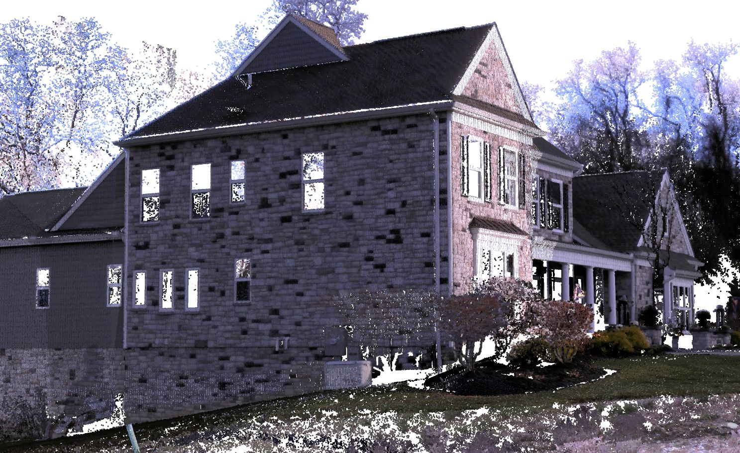
Point cloud data of a house’s exterior in SketchUp.
Compare that to the current streamlined process, which takes about 20 minutes. We use Trimble’s all-in-one laser 3D scanning solution (SX10) to scan the site and then put the point cloud data into Trimble Business Center (TBC) for processing. The ground data is viewed at a one-foot resolution, and we create a surface from this information. We then export the surface as a SketchUp file, and all site elements — the house, ground, and neighborhood — are exported as separate layers.
Video showing PSW Design Process Overview.
“Using Scan Essentials gives us the accuracy we need. A few inches off is a problem in our world. Sometimes we work in properties where we build up to the allowable setback. If we were off by a few inches, the second point related to the setback would be off by a couple more inches. Four more points down, and you're off by a foot.”


Images showing the basement point clouds to the finished basement.
How did this process increase productivity?
Our new workflow using Scan Essentials changed our productivity levels dramatically in three ways.
Provided a clean file to work with in SketchUp
Raw point cloud data is not always registered on import, and unnecessary information like reflections in windows are pulled through, both of which can be confusing. We register the point clouds in TBC and then import them to SketchUp. This ensures we have a clean, error-free file when starting work in SketchUp.
Ease of use when working on interiors
TBC has a feature called Limit box, which allows you to view the inside of a model or point cloud. Scan Essentials has the same capabilities, which is incredibly beneficial for interiors, as I work from outside to inside. When I have a scan, I can see the ceiling and all details — I create a section cut to get visibility into the house's interior and work on a specific section.
Provided accurate site information
This is crucial because we always work with a site's limitations in mind. For example, if we're building an outdoor structure, we must establish a location for it, not just horizontally on where it goes but how high it is from ground level or existing residence. Often times we utilize an existing outdoor exit door threshold as our control point. When construction starts, that's our zero elevation point for the crew, who will use points we staked with the SX10 along with a zip level or other high-precision altimeters. That accuracy cannot be achieved with measuring tapes; it's impossible to get it right because we always have problems with changing elevations. We use Scan Essentials early on and in the construction drawing phase to ensure we understand all limitations.
“You’re designing in 3D; why would you measure in 2D? It's impossible without point clouds — you are designing in the dark. ”
We never say field verify in our drawings because it's already verified; we have the entire site on our computer. We also periodically check if the ground changed (which usually happens if another contractor was grading the property) – that’s the only time we need to re-scan and review the changes.
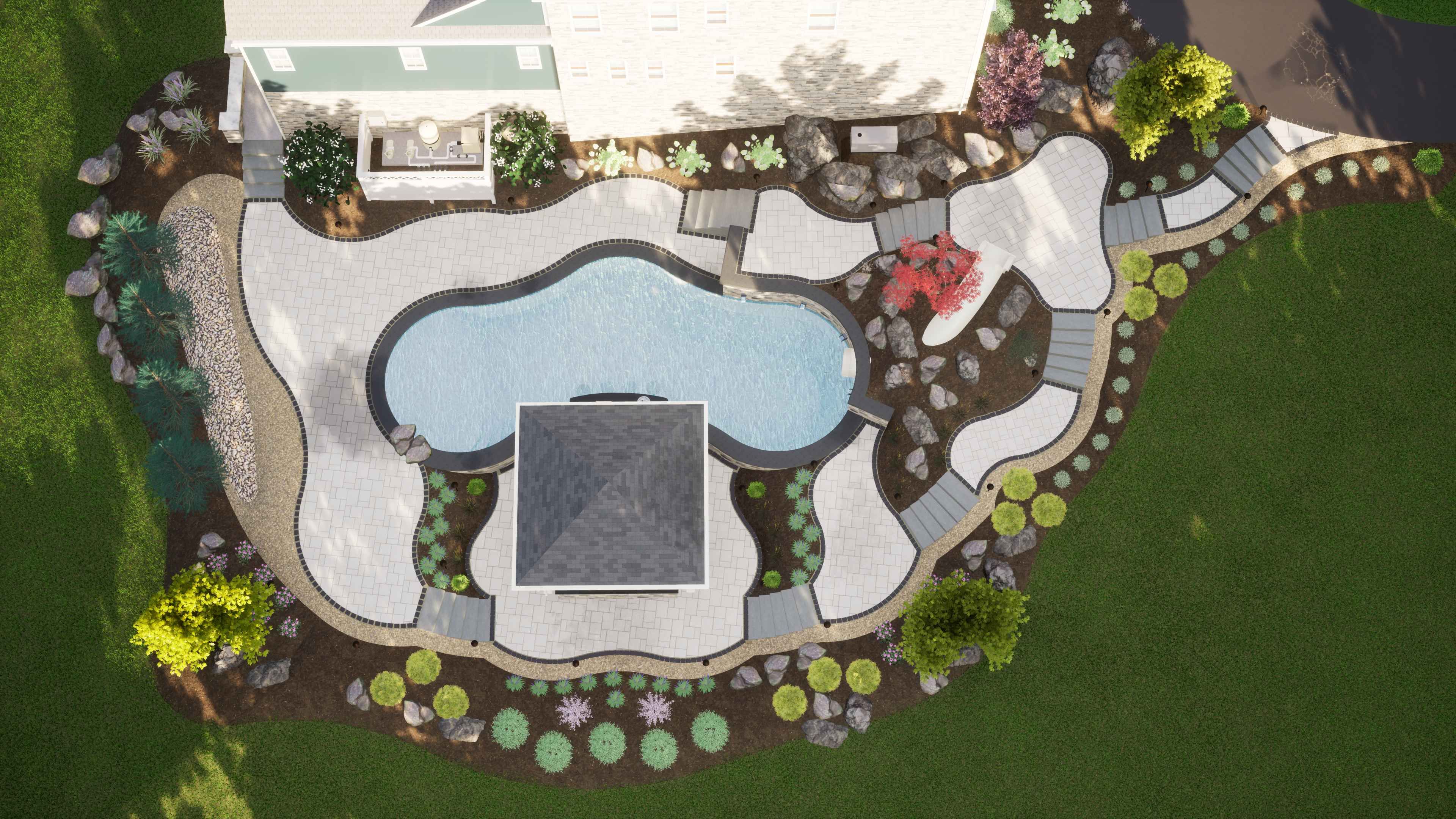
Landscape rendering.
Why should architects and designers use point clouds in their workflows?
Accuracy! In our world, we want to get it right the first time. At PSW, we don't bid projects out to the cheapest bidder; we have a trade network of partners who have been in the industry for a long time. We call the people who work with us our trade partners, not subcontractors, and support them in many ways. Working through the details inside the office rather than out in the field is valuable to our trade partners; we ensure they have all the information they need before shovel hits pavement. That's one of the main reasons we went with a point cloud workflow. Our objective is to be accurate and eliminate problems. We waste money if a project slows down during construction because of an unforeseen issue.
About PSW
PSW is a design-build general contractor company, not just a designing company. Unlike other design-build or general contractor, PSW's turnkey process take care of the design and project management for a chauffeured construction experience and works with a selected expert trades partner who believes in the PSW vision. The goal of PSW has always been to make sure clients have a smooth, educational construction experience and trade partners (subcontracts) are doing what they love to do without doubts. Point cloud technology and how it is integrated with our design software SketchUp make it possible to make sure we meet everyone's expectations accurately like never before. It takes less time, makes no assumptions, and only makes critical though precise decisions.
"Point cloud data is the only way to deliver an efficient and accurate project —I advocate for using the technology every time."
PSW knows clients in the residential industry desperately need designers that harness the power of point cloud to 3D model workflows. Check out their new design company, The Vizyon Group.
Try SketchUp out for your next project using a free trial.
Learn more about Trimble Business Centre here.